Landscape and Visual
OUR LANDSCAPE AND VISUAL ASSESSMENT SERVICES ARE STRUCTURED THROUGH PEOPLE EXPERTISE, software and SECTOR KNOWLEDGE.
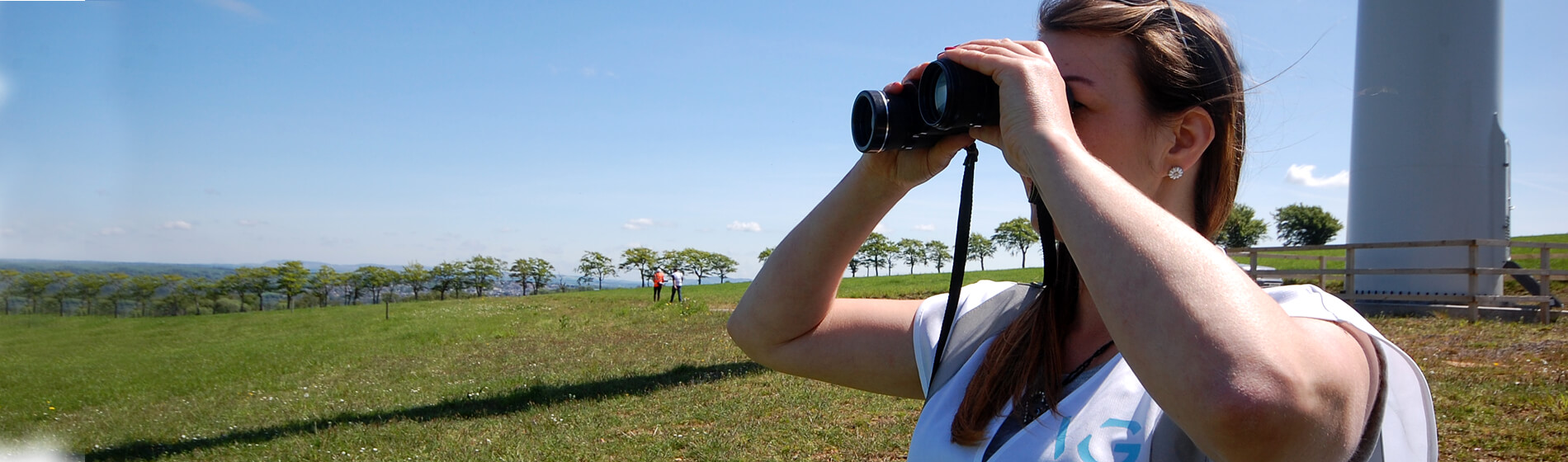
Whether you are looking to design a new public amenity area, or conduct a landscape and visual impact assessment for a large scale renewables project or housing development, Cogeo partner varied industries to address all Landscape and Visual requirements.
Our Landscape Architects provide design and assessment services for all Landscape and Visual aspects of a project. They collaborate with clients in both public and private sectors over many different types of projects, ensuring developments stay on track with our proactive approach. All our assessments follow best practice guidance, including the ‘Guidelines for Landscape and Visual Impact Assessment’ (third edition).
With design and assessment software packages including AutoCAD, GIS, Windfarm and SketchUp, we deliver across all scales of development. We also use high specification equipment for field surveys.
Smaller scale developments, such as garden design or amenity planting are covered within this service also.
Our landscape and visual team offer
- Landscape And Visual Impact Assessments (LVIA)
- 3D Modelling
- Photomontages, Wireframe Diagrams And Zone Of Theoretical Visibility (ZTV) Maps
- Residential Amenity Assessments
- Landscape Character Assessments
- Discharge Of Conditions
- Hard & Soft Landscape Design
- Mitigation And Enhancement Plans
- Sketch Design & Cost Estimates
- Detail Design & Construction Detail
- Site Inspection & Reports
- Landscape Masterplanning