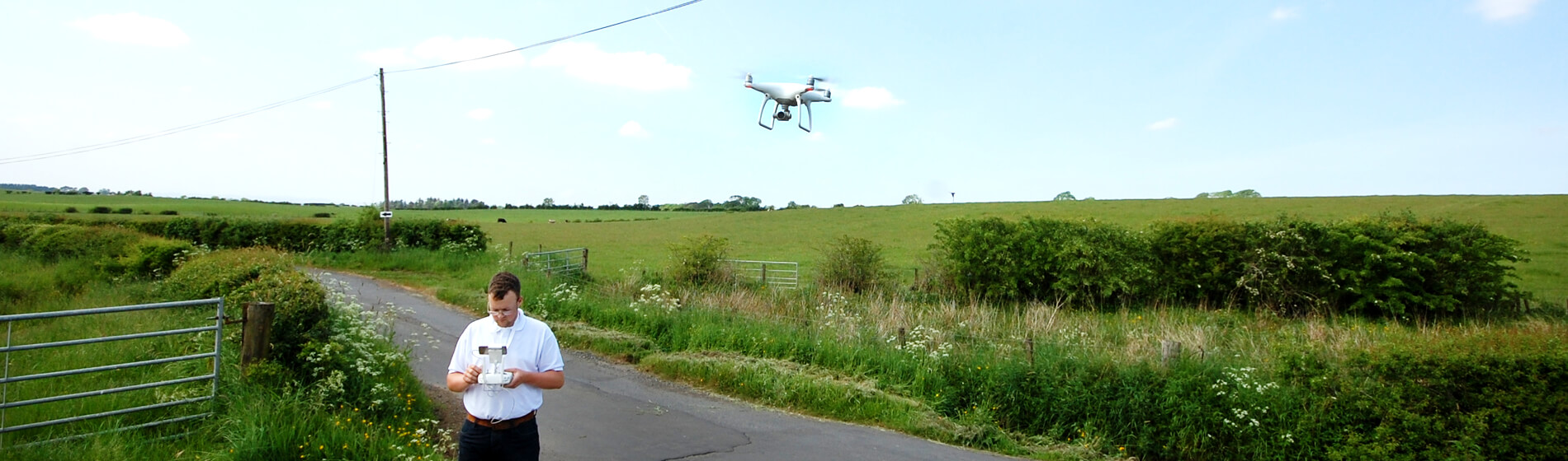
WindFarm Software Expertise
WindFarm is a powerful software package which allows our planning consultants to design and analyse wind turbine developments. They produce high quality images called photomontages which support planning applications. With any development, it is important that realistic and accurate architectural visualisations are produced to Scottish Natural Heritage (SNH) standard for clients, decision makers and the local people to view and analyse. Our in house team of experts are able to create high quality, representative photomontages in addition to zone of theoretical visibility (ZTV) maps, noise maps and shadow flicker maps by using WindFarm Software.

Photomontage
High quality background images are the key to producing a high quality photomontage. We use a Cannon E0S 5D Mark 2 camera which features a fixed 50mm focal length. This complies with guidance for photomontage set by SNH.

Geographic Information Systems (GIS)
GIS is a computer system that we use to capture, analyse and display different forms of information whilst producing high quality maps. GIS allows us to do in depth desk based assessments ranging from deciding the most suitable location for a wind turbine, to finding ecologically sensitive areas. GIS also lets us create high quality maps including site maps, location plans, planting plans and precision zone of theoretical visibility (ZTV) maps.

AutoCAD Technical Drawings
Every planning application needs accurate technical drawings. Therefore our dedicated team know how to push AutoCad to create drawings that are exceptionally precise. These comply with the most stringent standards expected of a planning application.

Acoustic Noise Level Equipment
We use several packages to process our raw acoustic data and change it into visual representations of noise contours. Once our consultants have calculated the noise levels for your development, the data can then be mapped and exported in easy to understand and interoperate maps.

SketchUP Software
For 3D modelling, SketchUp is a program which allows us to create a model of anything! We create realistic models for using in planning applications, to create visuals for clients and for their marketing. Once the models are produced, we can then present them in the most appropriate format to create the best visualisations possible.